
.jpg)
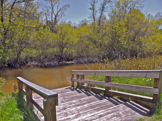
2025 SPRING VOLUNTEER STREAM MONITORING - MICROINVERTEBRATE SAMPLING
WRWP CALENDAR
- April Board of Directors Meeting, Thursday, April 24, 2025, 6:00 p.m. by Zoom
- SPRING MACROINVERTEBRATE SAMPLING - Saturday, May 10, 10 a.m. at Kropscott Environmental Farm, 6523 W Baseline Rd. Fremont, MI 49412 (Rain Date Saturday, May 17)
- May Board of Directors Meeting Thursday, May 22, 2025, 6:00 p.m. by Zoom
- June Board of Directors Meeting, Thursday, June 26, 2025, 6:00 p.m by Zoom
WRWP Board of Directors meet monthly starting at 6 pm eastern on the fourth Thursday of the month. The meetings are conducted by ZOOM. These meetings are open to all members and guests. For the link to join, send an email to raymondschinler@gmail.com.
UPDATES Chronicle of what's happening in the White River Watershed
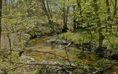
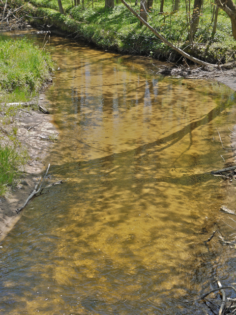
Temperature and Macroinvertebrate Sampling Sites
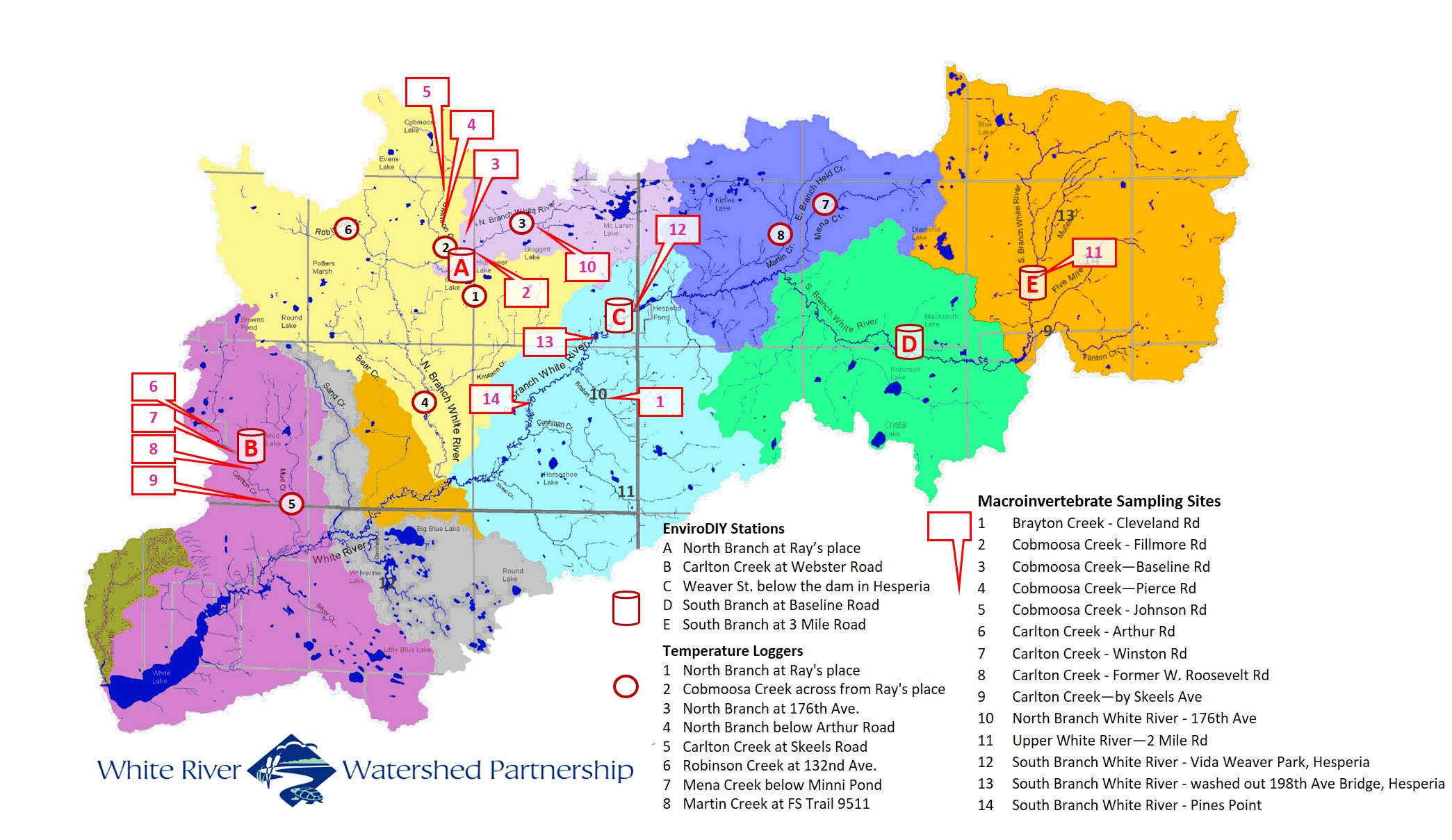
FALL 2024 AQUATIC MACROINVERTEBRATE SAMPLING
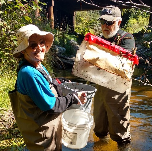
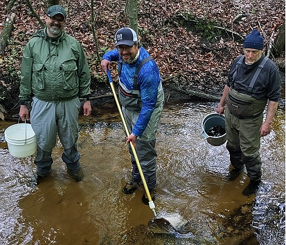
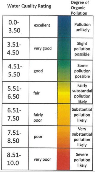
Recent Macroinvertebrate Sampling Results

Welcome! Travel around this site to learn about who we are, what we do, why we do it, and how you can get involved.
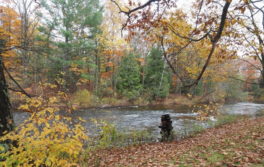
The White River rises from its headwaters deep in Newago County, flowing through streams and tributaries, finding its
way to the mouth of White Lake, and on to the end of its journey into Lake Michigan. Discover more about this
remarkable, precious natural resource, and what you can do to preserve, protect and enjoy it!
Wondering why the Watershed is important? Take a look!
.jpg)
-
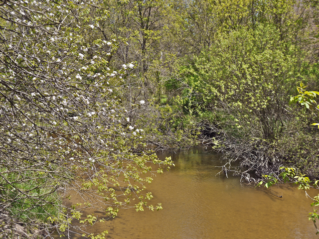
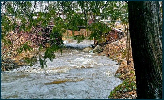
 copy59_Main Branch at Taylor Landing
 -
 Spring 2017-11
 -
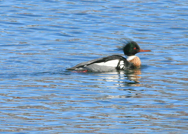
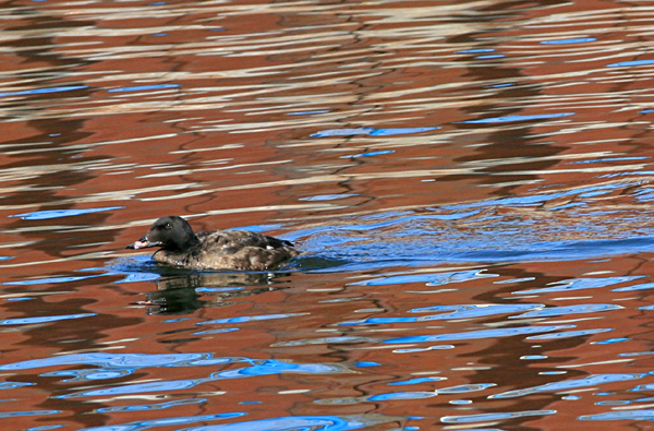
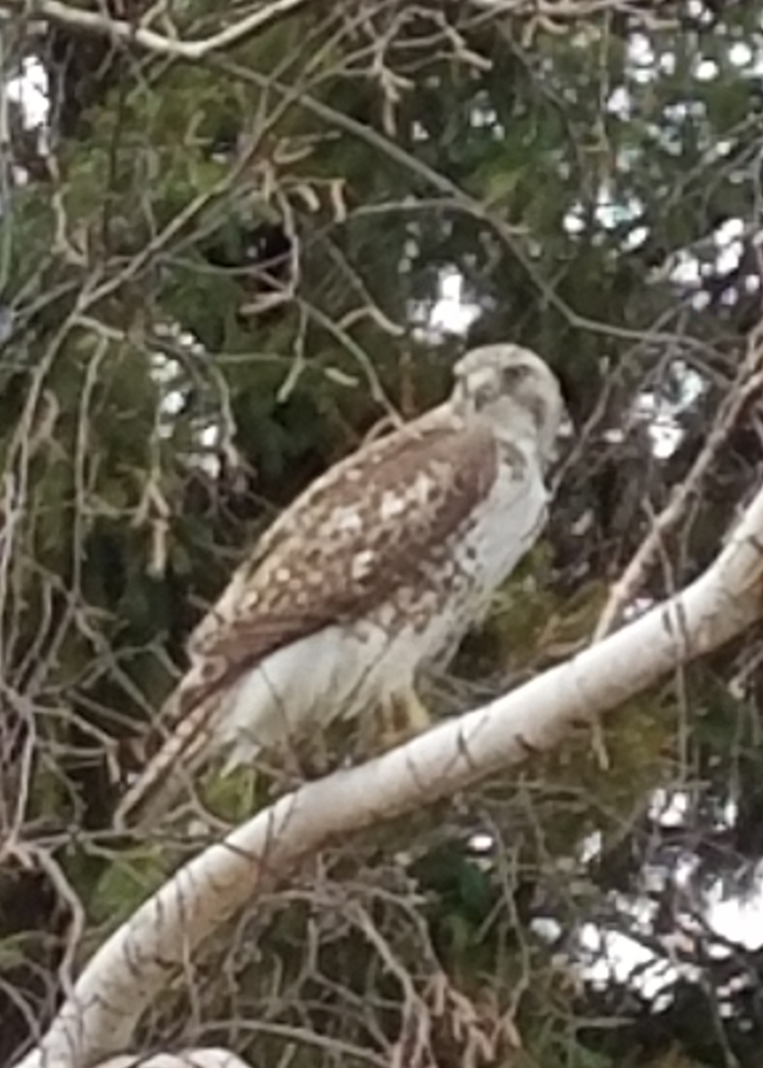
 Red Breasted Merganser
 -
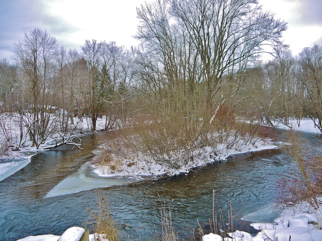
 Brayton x 200th Ave winter 2017
 -
 Spring 2017-18
 -
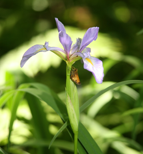
 Blue Flag Iris
 -
.jpg) Spring 2017-9 (2)
Spring 2017-9 (2) -
 Spring 2017-16
 -
 Spring 2017-8
 -
 Main Br above Taylor Bridge - 2
 -
 Spring 2017-10
 -
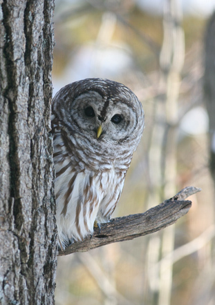
 Barred owl
 -
 White Winged Scoter
 -
 Spring 2017-4
 -
 Spring 2017-22
 -
 Main Br above Taylor Bridge winter 2017
 -
 Spring 2017-13
 -
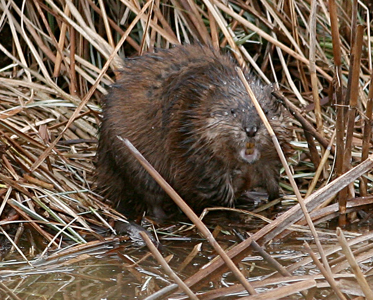
 Muskrat
 -
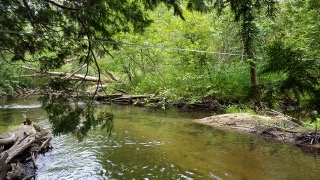
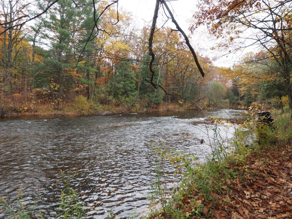
 Two Mile Creek
 -
 Spring 2017-21
 -
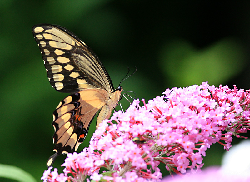
 Giant Swallowtail
 -
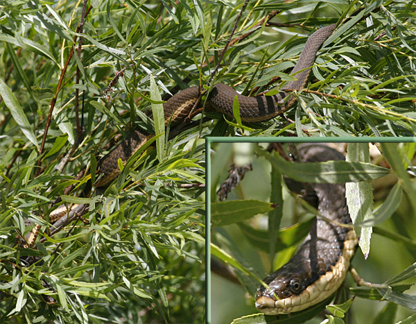
 Queen snake
 -
 WR Hesperia 2
 -
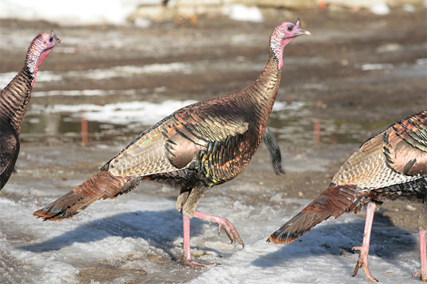
 Wild turkey
 -
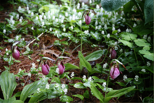
 Pink Lady Slippers
 -
.jpg) copy13_WRWP web photo (2)
copy13_WRWP web photo (2) -
 Spring Flooding Cobmoosa Creek
 -
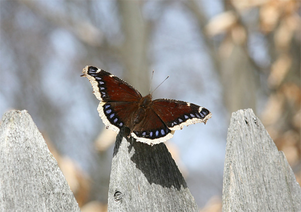
 Mourning cloak
 -
 copy57_WR Hesperia
 -
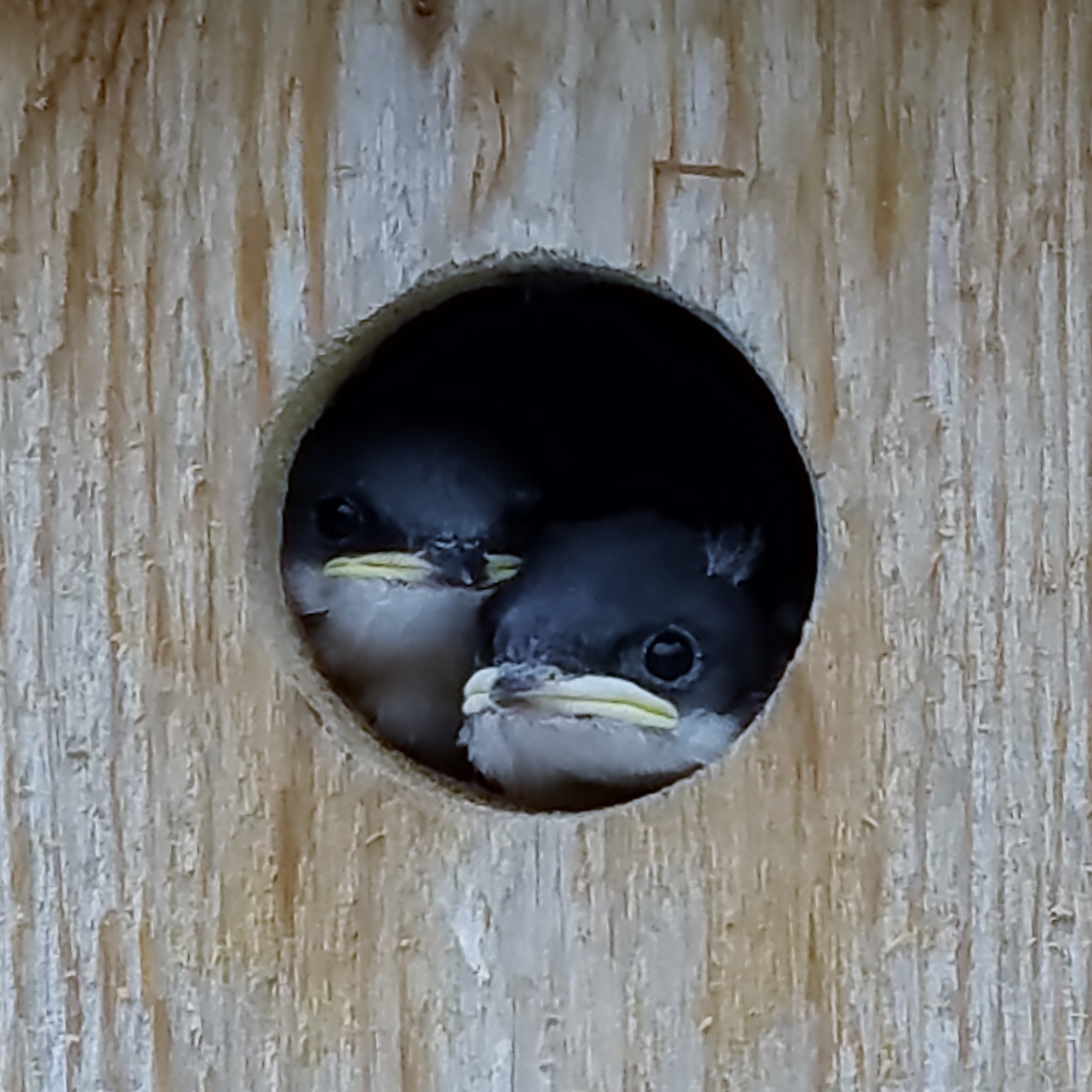
 Sparrow nestlings - Copy
 -
 copy42_WR Hesperia 3
 -
 20170410_102941
.jpg)
How's My Waterway:
A Tool for Exploring Your Water Quality
How's My Waterway provides information to the public about the condition of their local waters.
Collecting information from eight EPA databases, including contributions from states, federal, tribal
and local agencies, HMW provides a comprehensive overview of water quality across the United States
at the community, state and national levels.
HMW can help users:
* explore information about their drinking water and local stream conditions
* determine whether local waterways are suitable for swimming or consuming fish caught in those waters, and whether they support aquatic life
* discover if their waterways are being monitored for contaminants and the location of any local
monitoring stations
* learn about other issues affecting their waterways, including restoration and protection efforts,
impairments to water and discharge violations into local streams and rivers
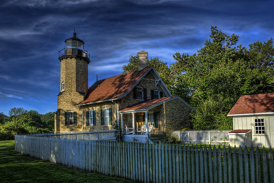
Click the White River Light Station for real-time views of White Lake Channel and Lake Michigan. The webcam is maintained courtesy of White Lake Association.
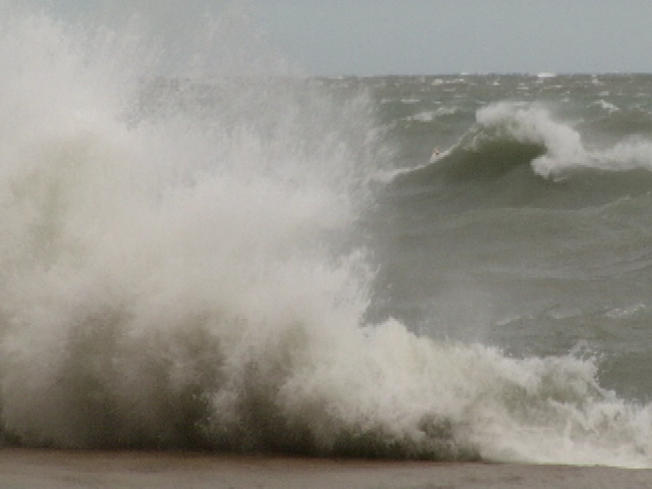
Don't head out to swim, fish or boat before checking the forecast! Click the waves for instant access to weather conditions at the White River Light Station.
.jpg)
You can learn the water levels on the lower White, just above Whitehall, by clicking on the ruler. This service is courtesy of US Geological Service.
Visit our
Science Corner
for links to the Aquatic
Invasive Species Watch
List, both plants and
animals.
You can also find
information there about
the White's watershed
management plan, maps
and other resources.